What is the flood warning gap and how does Previsico address it?
The challenge posed by surface water flooding
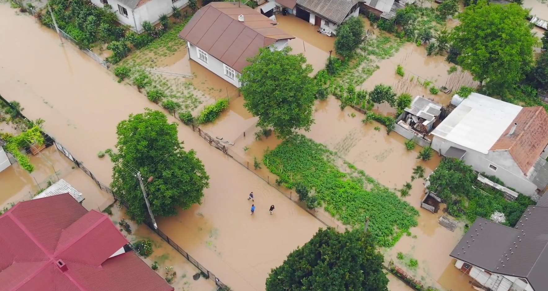
Surface water flooding occurs when drainage systems are overwhelmed, typically due to intense rainfall in urban areas.
Surface water flooding threatens more people and properties than any other form of flood risk. Over three million properties in England are at risk of surface water flooding.
Globally, research suggests that 19% of the world population are directly exposed to substantial risks during 1-in-100 year flood events. This increase in people at risk coincides with UK flood losses in the UK now exceeding £1bn per annum.
This type of flooding also poses a wider flood risk than other types of flooding because it affects entire infrastructures of towns and cities.
Changes in the climate and the way we use land are escalating flood impacts – particularly in areas previously unaffected by flooding.
Larger/denser populated areas means more people are at risk of flooding. Climate change is causing more frequent and intense rainfall, making flash flooding and overloading of the sewer network more likely and more frequent.
What is the flood warning gap?
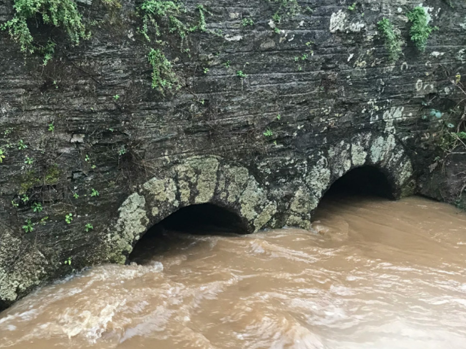
While flood warnings are widely available, these crucially do not cover floods from a variety of sources. The main gap is from surface water flooding (also known as pluvial flooding, flash flooding, cloudburst, and storm runoff).
Existing flood warnings are only widely available for larger river systems are coastal flooding. For surface water and smaller river systems, the best available solution to date has been weather forecasts. However, rainfall alone lacks specifics and doesn’t account for local conditions which drive surface water flooding.

How are we addressing this?
The Previsico Flood Intel Platform leverages leading data sources such as hyperlocal rainfall forecast, sensor derived water levels, antecedent conditions, local drainage, topography, land cover, soil and geology to produce fast and accurate representations of flow routing across entire geographies and to monitor river levels and coastal erosion.
Our technology is underpinned by over two decades of published research and development at Loughborough University, together with key stakeholders including the Environment Agency and the UK Cabinet Office.
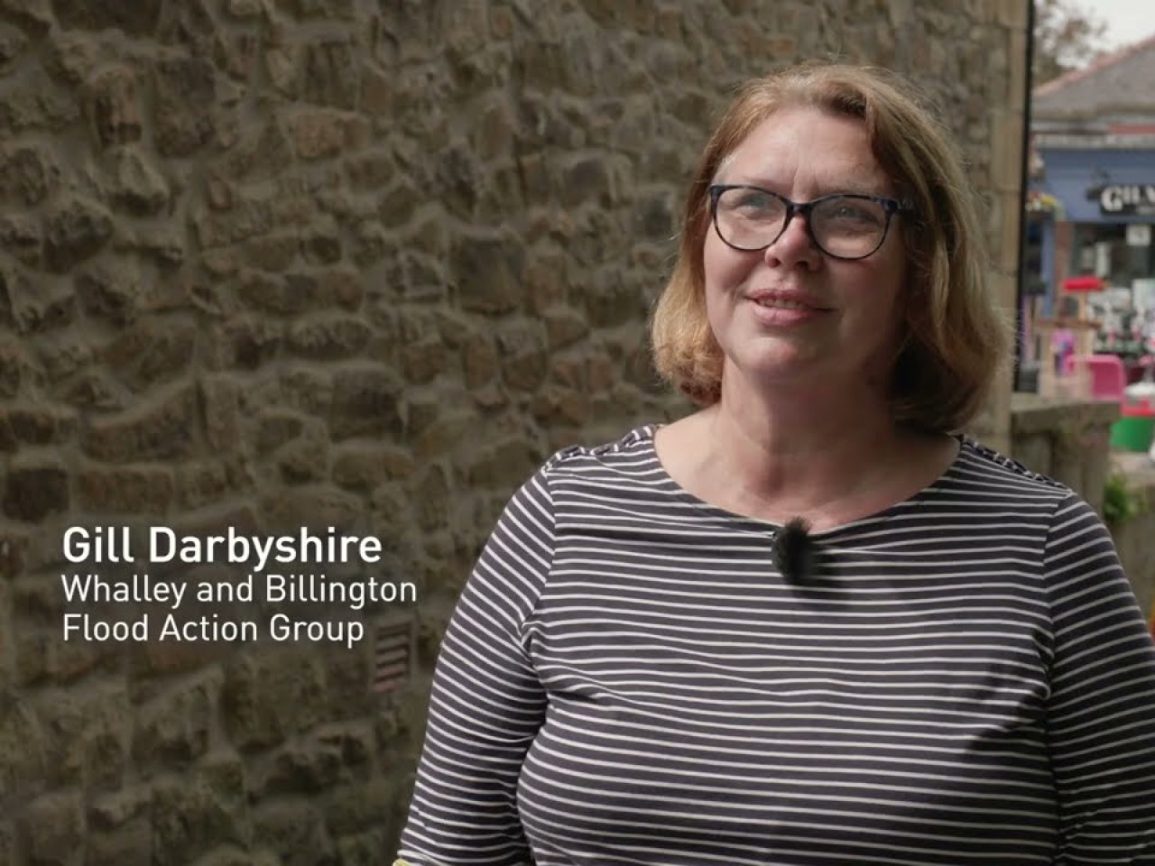
How Whalley Prevented 100% of Their Flood Losses with Previsico's Flood Intel Platform
How the Parish of Perranwell has mitigated flood loss with Previsico's Flood Intel Platform
The Previsico Flood Intel Platform
Leverages two decades of published research and leading data sources, flood forecasts are continuously generated at the property level using Previsico’s proprietary live hydrodynamic modelling software.